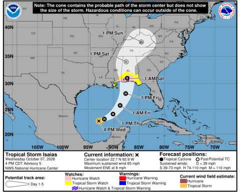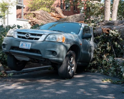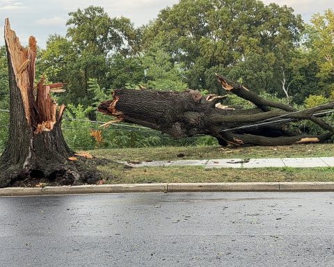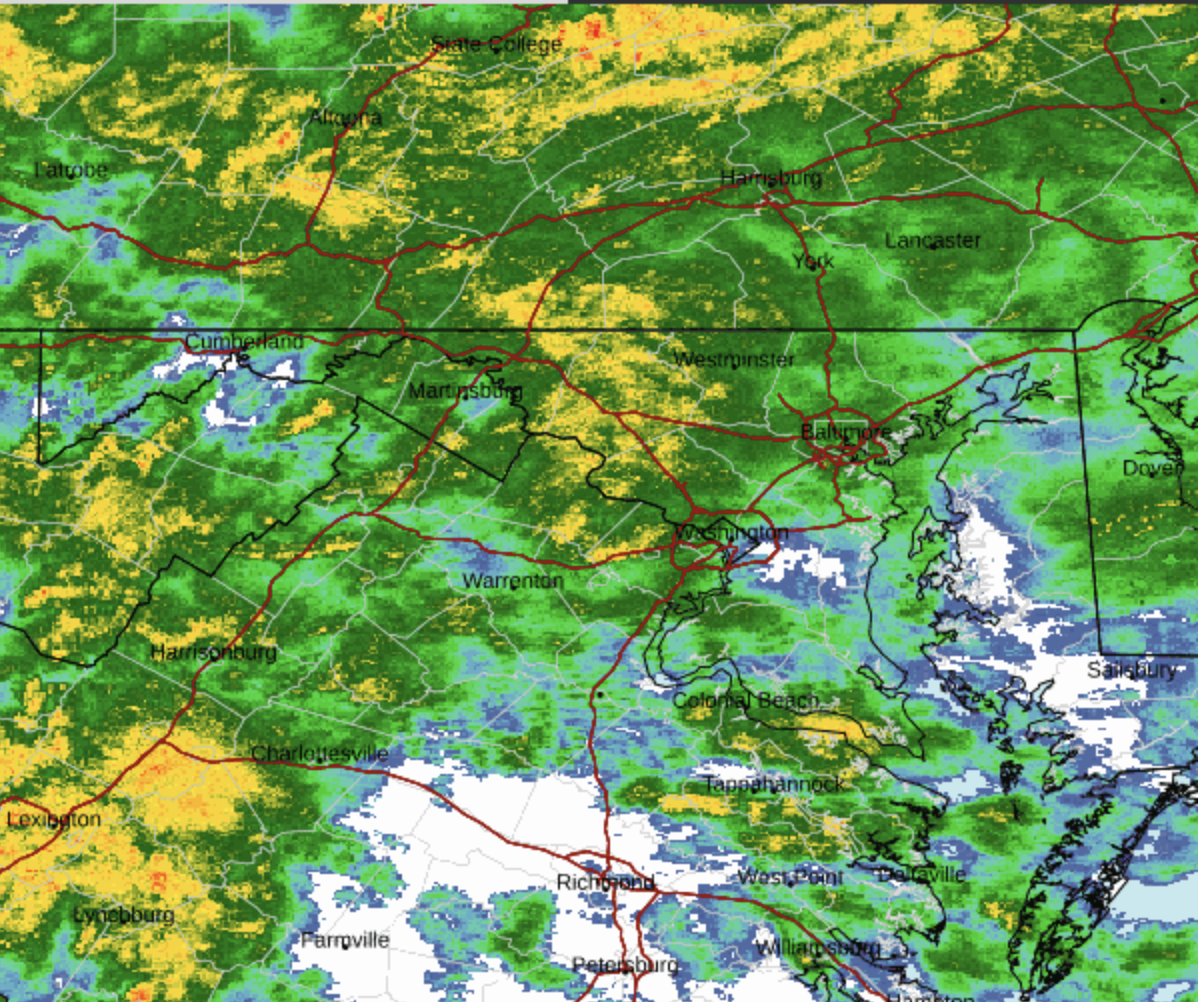
WASHINGTON — The National Weather Service warned early Sunday that damaging wind gusts and a few brief tornadoes could develop across the Washington region later in the day, as rain associated with the remnants of Hurricane Isaias moves into the Mid-Atlantic.
The Baltimore-Washington forecast said the threat of severe weather would extend through Sunday evening along the Interstate 95 corridor, including the District, suburban Maryland and Northern Virginia. Gale-force winds were also possible for several hours Sunday morning over waters near southern Maryland.
A flood watch remained in effect through late Sunday night for the Blue Ridge and portions of surrounding Virginia counties. The weather service warned that excessive rainfall could flood vulnerable areas. A wind advisory for the Blue Ridge was scheduled to continue until 11 a.m.
The office said the risk of damaging gusts and brief tornadoes was greatest during the afternoon and evening, particularly east of the Blue Ridge and Catoctin mountains. The forecast described a possibility, not a confirmed tornado or a warning that one was occurring.
The District itself was included in the severe-weather outlook but was not among the locations identified in the Blue Ridge flood watch. The Weather Service said the next several days after Sunday were not expected to bring comparable hazardous conditions.
Residents should monitor updated watches and warnings as the rain moves through the area. The Weather Service asked trained spotters to report flooding and severe weather to its Sterling, Virginia, office.